How are web maps used?
There are many different types of web maps available on the web and different ways to classify web maps. One way to classify web maps is by their primary use on the web.
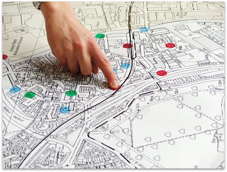
Route Finding
Potentially the most familiar to web users these maps represent a major use for web maps since the early days of the web. These maps display land-based transportation systems (roads, railways, public transportation) next to familiar landmarks and features. The primary purpose of these maps is to show where you are, where you want to go, and how to get there. They allow the user to get directions so they successfully find their destination.
Examples:
Reference
These maps provide context to a larger discussion or idea. These maps are used by journalists to help visualize where a story is taking place within the world. They can also be used to provide general reference and understanding of the world and our place in the world. Sometimes these web maps are used as base maps to other operational data that is overlaid on top of the reference map.
Examples:
- National Geographic Maps
- OpenStreetMap
- Google Maps
- Google Earth
- Esri Maps and Map Layers
- National Park Service Map
Thematic Mapping
These type of web maps are designed to display data of a specific theme in a specific geographic area. They may show population density, income distribution, weather data, or the distribution of plant or animal populations. These can be used to identify spatial patterns within a dataset.
Examples:
Analysis
This kind of web map may display the results of a geographic analysis or allow the user to interact with the geospatial data and perform various analytical functions within the map. Reports may also be generated from the mapping analysis.
Examples:
- Hurricane Sandy Impact Analysis
- NYC Solar Map
- National Forest Timber Sales and Timber Cuts
- Drive Time Analysis
- CrimeMapping.com
Animated
Geospatial data can include a temporal component as well as a geographic one. Animated web maps make use of a data's temporal attributes by animating geospatial data over a given temporal variable.
Examples:
Static
Web maps can also be a static map image lacking animation and interactivity that are available for viewing on the World Wide Web. These are like a snapshot of a map at a given scale and geographic extent. They can also include scanned paper maps that are made available for download and viewing on the web.
Examples: